 vesseltracker.com
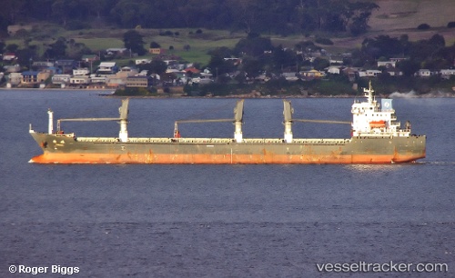
Vessel PH GIANG MINH IMO: 9481623, MMSI: 352001470 Bulk Carrier
UTC, 25.68342, 120.48774, course: 221, speed: 12
UTC, 25.36649, 120.26140, course: 216, speed: 12.4
2026-01-26 17:47:23 UTC, 25.09482, 120.02596, course: 224, speed: 12.6
Live AIS position:
UTC. Near Xiaocuo Pt),
updated 2026-01-26 17:47:23 UTC.
Find the position of the vessel PH GIANG MINH on the map. The latter are known coordinates and path.
marine traffic ship tracker show on live map
The current position of vessel PH GIANG MINH is 25.09482 lat / 120.02596 lng. Updated: 2026-01-26 17:47:23 UTCCurrently sailing under the flag of Panama
PH GIANG MINH built in 2008 year
Deadweight:
22019 tDetails:
Last coordinates of the vessel:
UTC, 26.01197, 120.75423, course: 225, speed: 11.2UTC, 25.68342, 120.48774, course: 221, speed: 12
UTC, 25.36649, 120.26140, course: 216, speed: 12.4
2026-01-26 17:47:23 UTC, 25.09482, 120.02596, course: 224, speed: 12.6